Release:
“Valdosta-Lowndes 2020 Crash Report”
The 2020 annual Crash Report for the Valdosta-Lowndes Metropolitan Planning Organization is now available on the Southern Georgia Regional Commission (SGRC) website. The report examines several trends regarding motor vehicle crashes in the Valdosta/Lowndes area: Fatalities, serious injuries, crashes involving pedestrians, bicyclists, motorcyclists, log trucks, and more. The SGRC has been producing these reports annually since 2009. Each report looks at a five-year period of data. This report analyzed crashes from Jan.1, 2015 to Dec. 1, 2019.
Here are some highlights from the report:
• From 2015 to 2019, there were 87 traffic fatalities in Lowndes County, or about one death every 3 weeks.
• 24 percent of crashes were caused by following too closely. Observing the “three-second rule” for your following distance can help prevent crashes.
• Relative to the number of vehicles that travel on them, “collector” roads (typically busier two-lane roads) are several times more dangerous than the Interstate. Some examples of collector roads where multiple fatalities have occurred are: Rocky Ford Road, Old Clyattville Road, and New Statenville Highway.
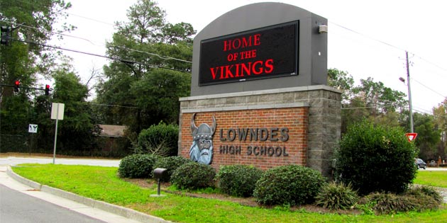
This latest report ties in with other crash analysis the SGRC has been performing for communities in the region. In spring 2020, the SGRC produced reports analyzing crash trends in the areas around schools in Cook, Charlton, Echols, and Lowndes Counties. This is part of a series of reports that will eventually examine school-related crash trends in all 18 counties.
This information can be used by local governments for many purposes. Intersections and other locations with problems like blocked views, blind curves, or insufficient signage can be identified and corrected. Overall crash trends can be used to identify driver training and education programs that may be needed. Crashes involving pedestrians can be analyzed to help determine where sidewalks or crosswalks are needed. The report can also be used by citizens to determine which intersections are most dangerous and what traffic situations to watch out for.
The Crash Report can be downloaded at the following address: https://sgrc.us/transportation-plans-studies.html. If you would like more information, contact Corey Hull at 229-333-5277 or chull@sgrc.us.
The Southern Georgia Regional Commission is a regional planning and intergovernmental coordination agency which serves 45 municipalities in the 18 counties (Atkinson, Bacon, Ben Hill, Berrien, Brantley, Brooks, Charlton, Clinch, Coffee, Cook, Echols, Irwin, Lanier, Lowndes, Pierce, Tift, Turner, and Ware) of South Georgia. Our dedicated staff team with local governments to increase the prosperity and quality of life in our region through programs including: Area Agency on Aging, Community and Economic Development, Transportation and Environmental Planning, Geographic Information Systems, Information Technology, Workforce Development and Small Business Loans.
The Southern Georgia Regional Commission is the designated Valdosta-Lowndes Metropolitan Planning Organization (VLMPO) is a multi-county, federally funded transportation planning agency for the Valdosta Urbanized Area. The VLMPO conducts long range and short range transportation planning in areas including: highways and bridges, public transit, bicycle and pedestrian infrastructure, freight movement among other areas.
To read more about the SGRC or the VLMPO, visit www.sgrc.us.


